Climate
Egypt prepares coastal flood and sea-level risk maps through 2100
October 22, 2026 at 10:29 AM
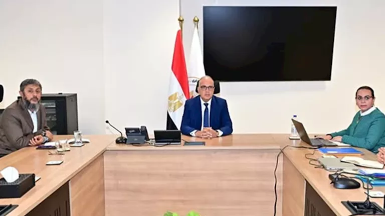
Egypt's irrigation minister announced coastal flood risk maps extending to 2100 during a review of the country's integrated coastal zone management strategy.
- Irrigation Minister Hany Sweilam chaired a meeting reviewing the strategic plan for integrated coastal zone management and a proposed institutional coordination framework.
- Sweilam said risk maps for coastal flooding and seawater intrusion into groundwater were prepared for 2030, 2050, 2070 and 2100 and delivered to affected governorates.
- He proposed a framework comprising a national committee chaired by the prime minister, a technical secretariat, and local governorate committees headed by governors.
- The coastal adaptation project, funded by a $31.4 million Green Climate Fund grant with UNDP, includes shoreline protection over 69 kilometers across five governorates.