Politics
Élysée Palace map blurring predates French protests, check finds
October 19, 2026 at 05:27 AM
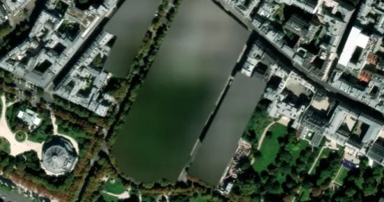

Claims that France blurred the Élysée Palace on digital maps ahead of nationwide protests are misleading; the blurring dates back years, before the current unrest.
- Al Jazeera's open-source unit determined the blurring appears in a satellite image dated April 2021, years before the protests.
- The blurring stems from French ministerial decrees starting in 2017 banning aerial and satellite photography of sensitive sites, updated to cover 561 locations.
- France's Interior Ministry said about 900 security personnel and 200 students were injured during the protests.
- The Justice Ministry said roughly 7,950 people, most of them minors, have been placed in detention.